
Type of territory: rear
Population: 5,618
Area of municipality: 465 km2
Priority project:
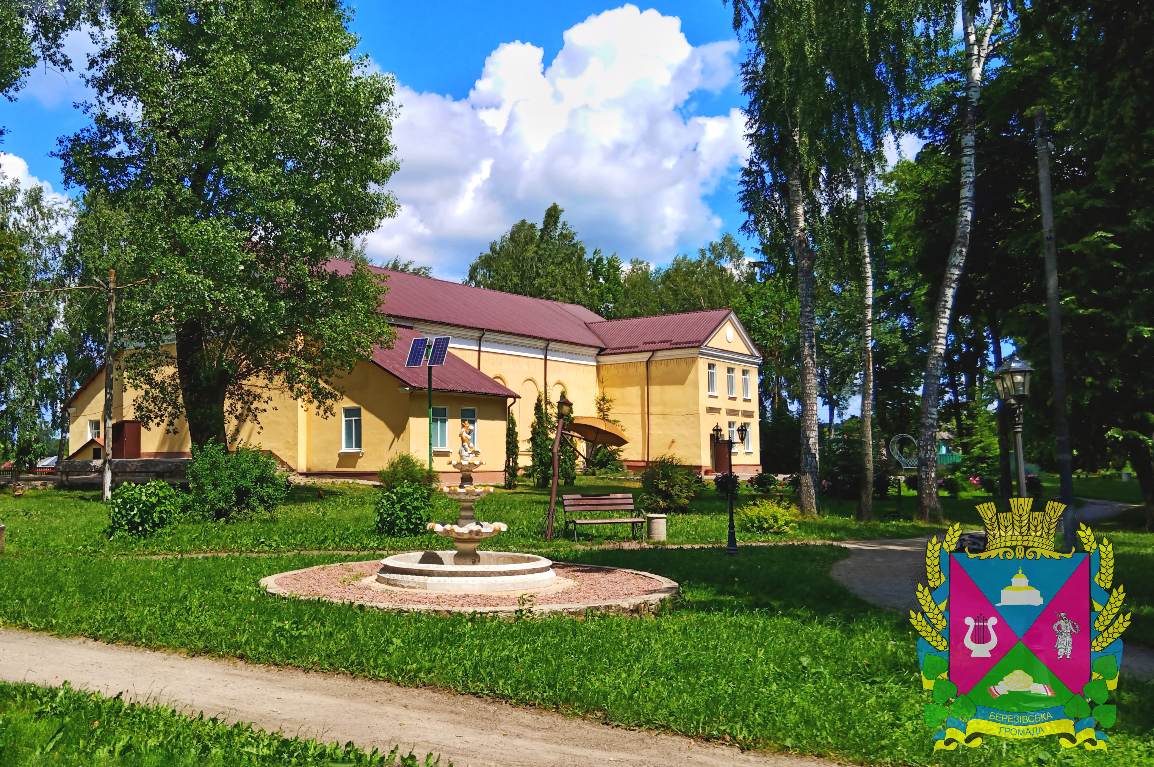
Reconstruction of the catering unit Berezivka Educational Complex
Additional peculiarities of the municipality:
Bereza municipality encompasses 21 localities organised into four starosta districts. Positioned 150 kilometres from the regional capital and 34 kilometres from Shostka, the community possesses high-value transit infrastructure, intersected directly by the critical M-02 "Kipti-Glukhiv-Bachivsk" international highway corridor and the R-65 regional highway.
The local economy maintains a well-defined structural profile driven by 11 industrial enterprises spanning forestry, energy transmission, utilities, dairy processing, and food production, alongside a resilient commercial sector anchored by small and medium-sized enterprises in retail and wholesale trade. Despite severe frontline disruptions, including broken supply chains and agricultural land access restrictions due to wartime mining hazards, the municipality retains a stable economic foundation with strong expertise in logistics, transport, warehousing, and diversified personal farming.
For international donors, development agencies, and humanitarian partners, Bereza village offers a highly organized and transparent regional platform urgently seeking targeted technical and financial cooperation to rebuild disrupted agricultural supply chains, deploy decentralized energy solutions, and implement vital rural infrastructure recovery and demining initiatives.
Contact: Mr Eduard Popov, Manager, erezabereza@ukr.net